
I spent a week at a “field camp” in the Sierra Nevada run by a local state university. The location is north and west of Lake Tahoe, California. This is a part of the mountain range I had never visited. The camp is used by students and scientists as a base of operations. Summer classes in ecology, natural history, etc. are run at this camp.
I spent a week taking a course in wild edible and medicinal plants. The edibles portion of the class was taught by two local instructors. The medicinal portion of the class was taught by a well known herbalist. The format was two days of edible plants and two of medicinals. One day was spent on plant identification of both.
The items covered were:
- Plant identification
- Foraging for edible plants
- Foraging for medicinal plants
- Processing medicinal plants (salves, tinctures, teas, smudge sticks, etc.)
- Processing edible plants (harvesting using modern tools, using a digging stick, roots, leaves, seeds, dangerous look-alikes, cooking and serving)
This is my view of the material. The course itself was far more improvisational. The day would begin “whenever” and the topics covered were whatever popped into the instructors’ minds. This “go with the flow” format might prove frustrating for many people. But looking back on the week I am surprised at how completely we covered so many skills and topics.
I think readers may enjoy some of the topics covered in the course. So I will post a few excerpts from the course in the appropriate parts of this site.
Here is some background and pictures:
The Sierra Nevada Mountains extend about 400 miles northwest to southeast in California. It varies from 60 – 80 miles in width. The western slope is more gradual and has a slope from 2-6% over about 65 miles. The eastern side rises abruptly and can be from 2,000 – 7,000 feet above the neighboring valleys. The summits increase gradually in elevation from north to south (6,000 feet – 14,000 feet). There are about 10 major passes through the mountains. Lake Tahoe and Yosemite National Park both lie in the Sierras, about 200 miles apart.*
*Much of this information came from Sierra Nevada Natural History, which is a very nice field guide. Disclaimer: I am acquainted with one of the authors.
Here are some pictures of the camp itself. I lived in a large tent on a raised platform with two cots inside. Coed restrooms and showers were nearby under a permanent roof with a concrete floor.
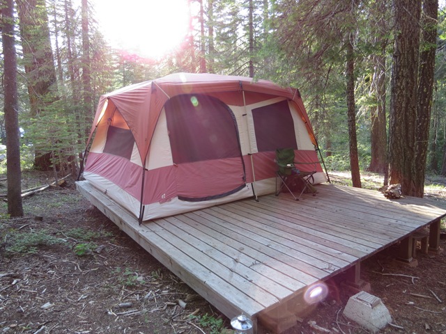
Field Camp Tent
The camp surroundings were beautiful, with a cold creek to soak in after a long hard day foraging.
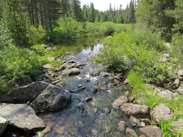
Upstream
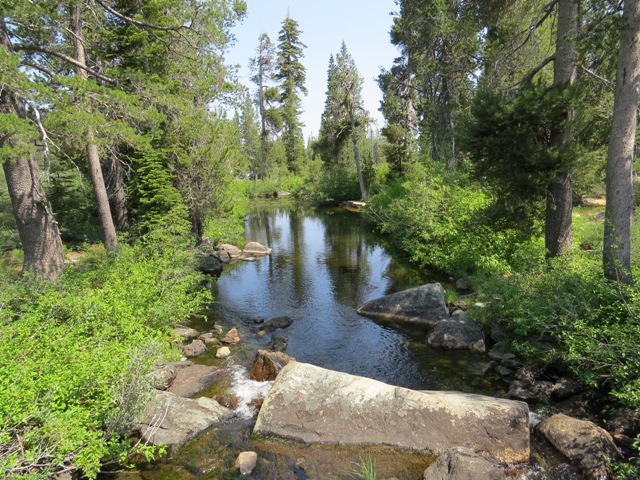
Downstream
Finally, here is a “gratuitous knife shot” for your viewing pleasure. Below is my beloved Fallkniven F1. It got a lot of use this week. The formation in the background is “Love Falls”. It was named from the rock structure just to the left of the waterfall. From this angle it is difficult to see. But the rock is in the exact shape of a Valentine’s Day heart. The footbridge high overhead is the Pacific Crest Trail. You may have noticed the greyed-out area of the photo. One of the herbalist students, an attractive blonde woman in her twenties, decided to bathe topless in the pools above the falls. I know readers are more interested in my F1, but I took the precaution of redacting that portion of the photograph just in case… No need to thank me! 🙂
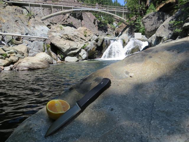
F1 and Love Falls
Look for future posts about skills covered in this course.
Originally posted: 7/7/2013

Leave a Comment